
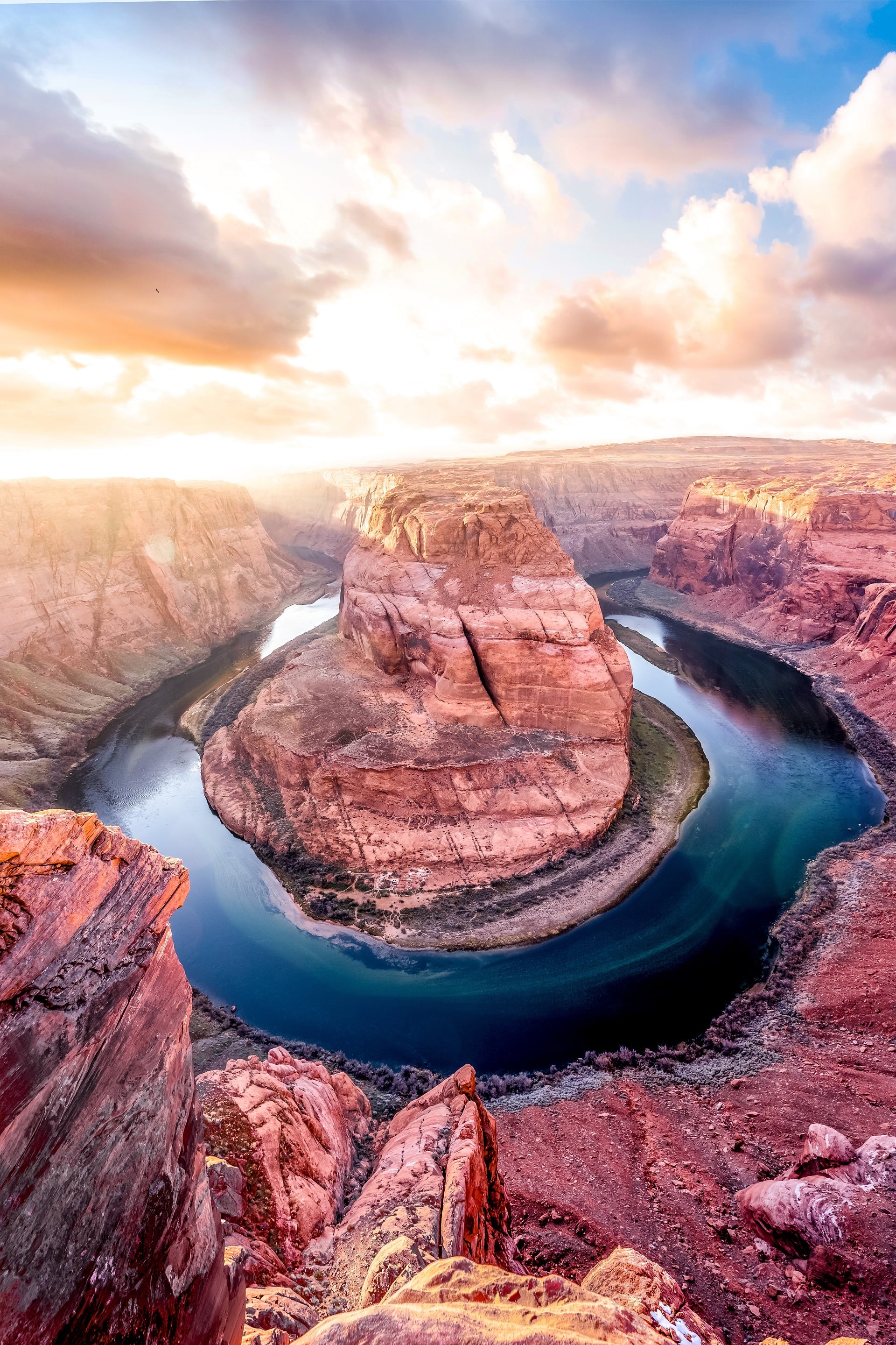
Do you love to hike? There are so many different types of trails out there, and we can help you find the perfect one for your needs. Tucson is home to over 150 hiking trails, most of which are located in either the Saguaro National Park, Tucson Mountain Park, or Sweetwater Preserve. Hiking is a great way to explore the desert landscape and get some exercise, so be sure to check out one of these trails the next time you’re in town! These trails provide breathtaking views of landscapes that have been featured in over 400 movies and television shows. Hiking these trails is the perfect way to explore some of the most picturesque locations in the world regardless of ability.
ADA ACCESSIBLE TRAILS
FELIZ PASEO PARK
Feliz Paseos Park is the first park in Arizona to focus on universal accessibility. This means that the park has been designed so that people of all ages and abilities can enjoy it. The park features a variety of accessible amenities, including a playground, a picnic area, and walking trails.
The park features a handicapped-accessible trail system with interpretive signs. The area includes a paved parking lot and a plaza with a large ramada featuring two ADA-accessible family restrooms. The park, which is located near the northeast corner of Gates Pass Road and Camino de Oeste, covers 56 acres of desert.
- The park contains over 2 miles of hiking trails, both paved and natural.
- The interpretive signs are there to help
- Restrooms & Drinking water
- Shaded Area
- Leashed dogs are allowed on the premises.
This park is open to all and designed to accommodate everyone, regardless of ability.
SAGUARO NATIONAL PARK – WEST
The Saguaro National Park – West, with its arid Sonoran Desert landscape and igneous rock formations, is one of the most unique hiking locations in the country. Trails give hikers access to many different types of desert plants and animals, interesting rock formations, and other natural features. The park has two trails that are compliant with the Americans with Disabilities Act:
The Cactus Garden Trail is a brief (100-yard) trail located in front of the Red Hills Visitor Center. The paved trail, which is wheelchair accessible, features resting benches along the route. The signs and exhibits at the Tucson Mountain Range acquaint visitors with the common plants found in the area.
The Desert Discovery Trail is a short-loop trail located at the base of the Tucson Mountains. The starting point for the trail is 1 mile from the Red Hills Visitor Center, in the northwest direction on Kinney Road. The trailhead is marked by a roadside sign and is accessible by wheelchair. It offers benches for resting and shaded areas for shelter. The interpretive signs present information on the native flora, fauna, and the Sonoran Desert biome.
Dogs on a leash are allowed on the trails, but not on other hiking routes in the park.
The visitor center has water bottle filling stations, ADA Compliant restrooms, maps, a gift and bookstore, support staff, and monthly programs.
Saguaro National Park-West has over 60 miles of hiking trails for visitors to explore.
ARIZONA SONORA DESERT MUSEUM
The Arizona-Sonora Desert Museum is a combination of a botanical garden, aquarium, zoo, publisher, natural history museum, and art gallery all located in one spot. Plus, most of the attractions (85%) are outdoors. Approximately 2 miles of walking paths made of natural materials like compacted dirt and pavement connect different areas that showcase plants and animals that are native to the Sonoran Desert. Some sections have more elevation than others.
The Desert Botanical Garden is accessible to wheelchair users, with 96% of exhibits being reachable. This allows people to see the plants and animals of the Sonoran Desert in a safe and comfortable way. The Museum has a small number of child strollers, manual wheelchairs, and electric convenience vehicles (ECVs) available for rent at the front ticket window on a first-come, first-serve basis.
All of the buildings and most of the restroom facilities are accessible for wheelchairs, with ramps located next to any stairs.
SWEETWATER WETLANDS
The Sweetwater Wetlands uses water that has been reclaimed and serves as an environmental education facility and habitat for a wide variety of wildlife. It has more than 2.5 miles of hiking trails accessible to visitors. The pathway is almost 1000 feet long and surfaced with concrete, making it wheelchair accessible. The concrete surface allows easy access from the parking area to the main ramada. The path is generally level and surfaced with decomposed granite or coarse gravel. Some areas may have more thickness than others.
- No bikes, dogs, or horses are allowed.
- The drinking fountain has a water bottle filling station.
- A hand-washing station provides a convenient place to wash up.
- The ADA-compliant bathrooms are located at the trailhead.
The Tucson Audubon Society offers weekly birding trips that last for two hours every Wednesday morning. The start time of the trip varies depending on the season.
DESTINATION TRAILS
BOWEN STONE HOUSE
The Bowen Stone House was constructed by Sherry and Ruby Bowen in the early 1930s. They relocated to Tucson and staked a claim on the property, believing the climate would be beneficial for Ruby’s health. Sherry Bowen worked as a typesetter and editor for the Arizona Daily Star. In her writing, Ruby recounted her experiences living in a cabin in the desert for the Desert Magazine of the Southwest and a book called “Arizona Homestead: An Adventure in Beauty.” The couple claimed 2000 acres of land as their own and had a child in 1943. Eventually, they moved back to the east in 1944. In 1983, the house was made part of Tucson Mountain Park.
The two most popular hiking trails that lead to the Bowen Stone House are:
Yetman Trail (1.2 miles one way)
The starting point for the Yetman Trail is at the end of Camino de Oeste, where there is also parking available. The trail follows a wash and intersects with the Bowen Trail after .7 miles. Follow the Yetman Trail to the stone house in half a mile.
Bowen Trail (1.3 one way}
The Bowen Trailhead, located off W Starr Pass Blvd at the JW Marriott Star Pass Resort, is the starting point for the trail. After .8 miles, the trail intersects with the Yetman Trail. Take the Yetman Trail to the left, and in half a mile you will reach the Stone House.
The walls of the house and fireplace were built from local stone. The home had many large windows, two fireplaces, and a bathtub. The floors were made of concrete, the walls were once paneled with wood siding, and it had a tin roof. Water was provided by a windmill, a well, and a small pond. The walls of the house are all that remain today. The roof and interior were destroyed by a fire in 1970.
GOULD MINE
The Gould Mine was established in 1906 by S.H. Gould, who claimed that the mine contained a large amount of copper. The mine produced 45,000 pounds of copper, which was valued at $9,000. After several years of operation, the company went bankrupt and ceased production in 1911, leaving behind an archaeological site.
Start your hike at the King Canyon Trailhead, which is located across Kinney Road from the Arizona-Sonora Desert Museum. From the parking lot, cross the wash and begin your hike. A trail leading up the north bank of the wash leads to a sign pointing out the Gould Mine Trail. Following this trail, one will gradually come across the Gould Mine and the Sendero Esperanza Trail after 1.1 miles. This makes for a round trip of 2.4 miles in total.
The deep pit, which is covered by an iron grate, is over 300 feet deep. The remaining walls of the powder house, the mess hall, as well as the foundations for the blacksmith shop, are still standing. Samples of epidote, azurite, malachite, garnet, and pyrite can be found at the Sendero Esperanza Trail. The waste products from the mine are visible from Kinney Rd north of the AZ-Sonoran Desert Museum.
One can return to their place of origin by taking the Esperanza Trail to the Kings Canyon Trail where the oldest petroglyphs can be seen in close proximity to the Picnic Area called Mah-A-Gah. This is a great way to see ancient art while also getting some exercise and enjoying the outdoors.
SIGNAL HILL PETROGLYPHS
The Signal Hill petroglyphs are located in Saguaro National Park-West. A short trail and viewing area provide access to dozens of images. The images to the left of the trailhead are often missed.
A favorite among photographers, a large spiral image can be found at the viewing area atop the hill. Walking up Wasson peak and Sombrero peak, you’re going to get an amazing view of the saguaro forest.
From the Red Hills Visitor Center, continue on Kinney Rd. for 1.8 miles until you reach N. Sandario Rd., then turn right onto Golden Gate Rd. After 1.5 miles, turn left onto Signal Hill Rd. The Signal Hill Trailhead is at the picnic area and the petroglyphs are only a short distance away.
It is not allowed to climb on the rocks. Please stick to the trail and viewing area. Note that Golden Gate Road closes at sunset.
TUMAMOC HILL
Tumamoc Hill Trail (1.5 miles – one way)
The starting point for the trail is located on Anklam Road, opposite St. Mary’s Hospital. This trail is very popular among hikers, with an average of 7000 people per week. Although you’re unlikely to find much solitude here, it’s a great trail to enjoy the company of others in the city. This hike provides an intense cardio workout, with a 700-foot elevation gain over the course of 1.5 miles. At the top, hikers are rewarded with stunning panoramic views of Tucson.
The hike starts with a gentle climb, but as you get closer to the midway point, you will start encountering a series of switchbacks with steeper inclines. There are also research buildings (please do not disturb) and two port-a-potties near the midway point. A favorite spot for those seeking a sunrise, sunset, or view of downtown Tucson is the top of the hill.
Tumamoc Hill is an ecological reserve and cultural site that is listed in the National Register of Historic Places. It is also a National Historic Landmark. The scientific research conducted on the plants and animals at Tumamoc Hill is ongoing. The Tumamoc Hill is the location of the UA Science Tumamoc Desert Laboratory, which has been studying vegetation for the longest period of time. Parking can be difficult; however, there is limited parking available on Anklam but no parking is permitted at St Mary’s. It is important to stay on paved paths and leave your dogs at home.
WASSON PEAK
Wasson Peak is the tallest peak (4,687 feet) in the Tucson Mountains and provides stunning panoramic views. There are 3 popular routes to the summit.
Via King Canyon Trail (3.55 miles, one way)
The starting point and parking lot for the trail are right across Kinney Road from the Arizona-Sonora Desert Museum. The first .9 miles involve a gentle ascent to Mah-A-Gah Picnic Area. Look for the Petroglyphs carved into the rocks in the wash before you reach the picnic area. Follow the trail marked 1.4 miles to the junction of the Sweetwater Trail. The trail then ascends in a series of switchbacks for the next .9 miles up to the Hugh Norris Trail. The last .3 miles climb up the Hugh Norris Trail to reach Wasson Peak. An alternative path that can be taken is by going down the Hugh Norris Trail to the Sendero Esperanza Trail which will lead back up to the King Canyon Trail.
Via Hugh Norris Trail (4.9 miles, one way)
The starting point for the trail is located on the Bajada Loop Drive, 2.5 miles north of the Red Hills Visitor Center. The hike to the top of the ridge begins with a number of switchbacks. The switchbacks are a series of zig-zagging paths that take hikers to a higher elevation. From the ridge, hikers can see the Saguaro Forest below. The path goes on along the top of the ridge, through areas with great views and large boulders. The trail to Wasson Peak reaches Amole Peak, the second-highest point in the mountains, after 4.1 miles. The last section of the hike includes a series of switchbacks and a gradual ascent to Wasson Peak.
Via Sweetwater Trail (4.7 miles, one way)
The trail can be started by heading to El Camino del Cerro Road. The trailhead is located just off the road and is clearly marked. There is plenty of parking available at the trailhead. The path is 3.4 miles up to the ridge where the King Canyon Trail is located. Continue following the King Canyon Trail .9 miles to the Hugh Norris Trail, and then .3 miles until you reach Wasson Peak.

0 Comments