
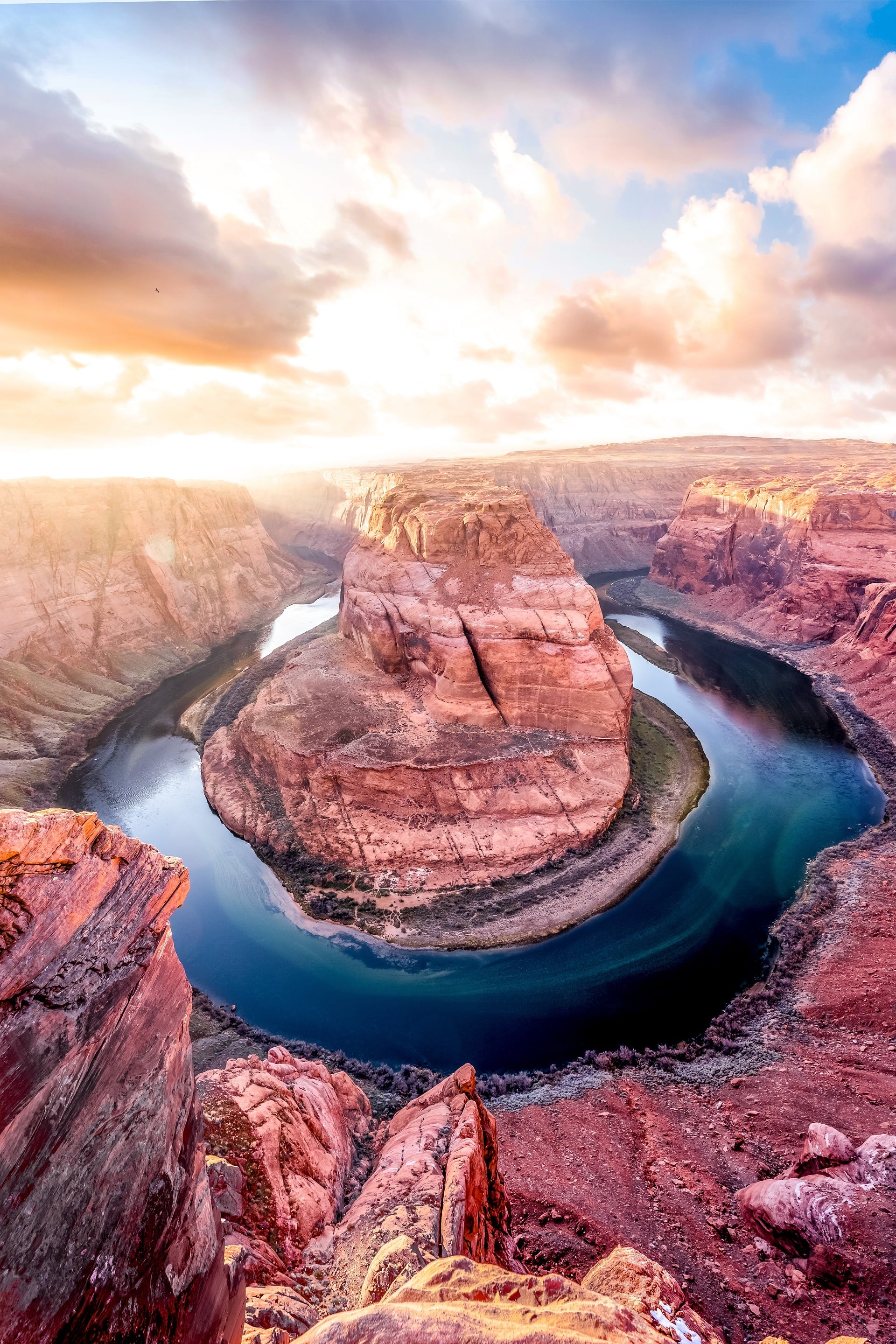
Tucson is an ideal destination for hikers. With five mountain ranges encircling the city, plus two halves of a national park along its borders, there’s no shortage of opportunities to explore nature. Regardless if you’re a veteran hiker or just starting out, you can ascend 9,000 feet on Mt. Lemmon or merely take a short stroll from a nearby hotel; either way, the outdoor experience will be memorable. There are plenty of easy hikes to take in the Tucson area that are well worth your time. Just remember to bring along sunscreen and more water than you think you might need. You’ll be glad you made the effort once you see the stunning views that await you.
We’ve gathered a list of five easily accessible and stunning trails located in the Tucson area for your exploration. Whether you’re looking to get lost in nature for a day, or just want to take a quick stroll through some local scenery, these serene spots are sure to please.
1. Sabino Canyon Lake Loop
2.3 MILES | NORTHEAST | SEPTEMBER THROUGH MAY
The Sabino Lake Loop is a great trail for those looking for a short and easy hike with beautiful scenery. The trail is only 2.3 miles long, making it the perfect length for a quick hike. Visitors can enjoy a breathtaking view of the lake and take a hike along Sabino Creek when they travel down the trail, providing them with an opportunity to get some fresh air. This path is suitable for everyone, regardless of their ability level; and if the canyon contains any water, you may have to traverse it with wet feet!
As you walk along the trail, you’ll see plenty of options for places to have a picnic. Whether you want to sit on the rocks or at one of the picnic tables, you’ll be able to find a spot that’s perfect for you. Nature trips, hiking, and birdwatching are the usual activities on this trail. September to May is the ideal time for these activities.
Begin in the Sabino Canyon parking lot and take the route to Sabino Dam. You have the option of continuing on Bluff Trail or following the creek for a short period before rejoining Bluff Trail and locating your way back to the main road.
2. Bowen House | Tucson Mountain Park
2.6 MILES | WEST | MAY THROUGH AUGUST
Situated on the westernmost edge of the Tucson Mountains, Bowen House – also known as “The Stone House” – can be reached via Camino de Oeste. This trail is a straightforward 2.6-mile round trip, with multiple washes and an elevation difference of fewer than 200 feet. Along the way, hikers will enjoy stunning views of the surrounding desert landscape. This is a very casual hike; however, there is little to no shade, so it is best to go early or on a cool day and bring plenty of water.
The trail is a great place to hike, walk, and enjoy nature trips and birding. It is accessible year-round, but it can be pretty sunny and hot during the months of May through August.
If you’re coming from Speedway/Gates Pass, drive south on Camino de Oeste until you reach the dirt lot at the end of the road. The trailhead is clearly marked, so you shouldn’t have any trouble finding it. Once you’re there, enjoy hiking through some of the most beautiful scenery that southern Arizona has to offer!
3. Aspen Trail & Marshall Gulch Loop Trail | Mt. Lemmon
4.4 MILES | NORTH | YEAR ROUND
The Marshall Gulch Loop Trail, at a length of 4.4 miles, is classified as moderate and is located on Mt. Lemmon’s Aspen Trail. The trail offers hikers the chance to experience stunning wildflowers and golden aspen trees in autumn. The views from the trail are breathtaking, and the hike is a great way to experience the beauty of nature.
The trail offers a number of activity options and is accessible year-round. This is a great trail for hiking, biking, and even walking your dog (as long as they are on a leash). The path to the trail can be accessed by taking a drive to Marshall Gulch Picnic Area through Summerhaven.
The trailhead is at the end of the road which is typically closed during winter months. The last couple hundred yards to the picnic area will require walking, so don’t forget to wear comfortable shoes! Be sure to also pay the $5 parking fee before beginning your hike.
4. Lower Ventana Canyon
SET YOUR OWN LENGTH | NORTHEAST | SEPTEMBER THROUGH MAY
This strenuous 12.4 mile out and back trail is known as the Window Peak via Ventana Canyon Trail; it is rated as difficult, as it ascends 4,000 feet to the summit, or “la Ventana,” of Window Peak. The trailhead starts in Sabino Canyon, near Tucson, Arizona. The first 3 miles of the trail are easy as it follows along a gravel road. After that, the real climbing begins as the trail switchbacks up the canyon walls. There are several waterfalls along the way, which make for a nice break on a hot day. The last mile or so is above the tree line and can be extremely windy. The views from the top are amazing, with 360-degree views of some of Arizona’s most beautiful scenery.
For a shorter and more accessible hike, try just the first couple of miles. This part of the trail is relatively flat and shaded, so it should only take 1-2 hours for an out-and-back hike. The trail is primarily used for hiking and can be accessed year-round.
If you are heading north on Kolb Road past Sunrise, you will want to turn right into Loew’s Ventana Canyon Resort. Once you are in the resort, drive until you reach the first parking lot. The trailhead is located at the end of this parking lot.
5. Romero Ruins Loop | Catalina State Park
0.6 MILES | NORTHWEST | YEAR ROUND
Hikers of all levels can enjoy the 0.6-mile loop trail at Romero Ruins Loop located in Catalina State Park, Tucson Arizona. The trail provides stunning views of the Catalina Mountains and the surrounding desert landscape. wildlife spotting opportunities abound, making it a perfect hike for nature lovers.
The trail is a great place for walking, hiking, and spending time with your dog. The trail is open all year long, so you can enjoy it no matter the season. Dogs are allowed on the trail, but you must keep them on a leash at all times for their safety and the safety of others.
To find the parking lot for Catalina State Park, drive north on Catalina State Park Road until you see the trailhead sign across the street. Look for a place to park on the north side of the road.


0 Comments