
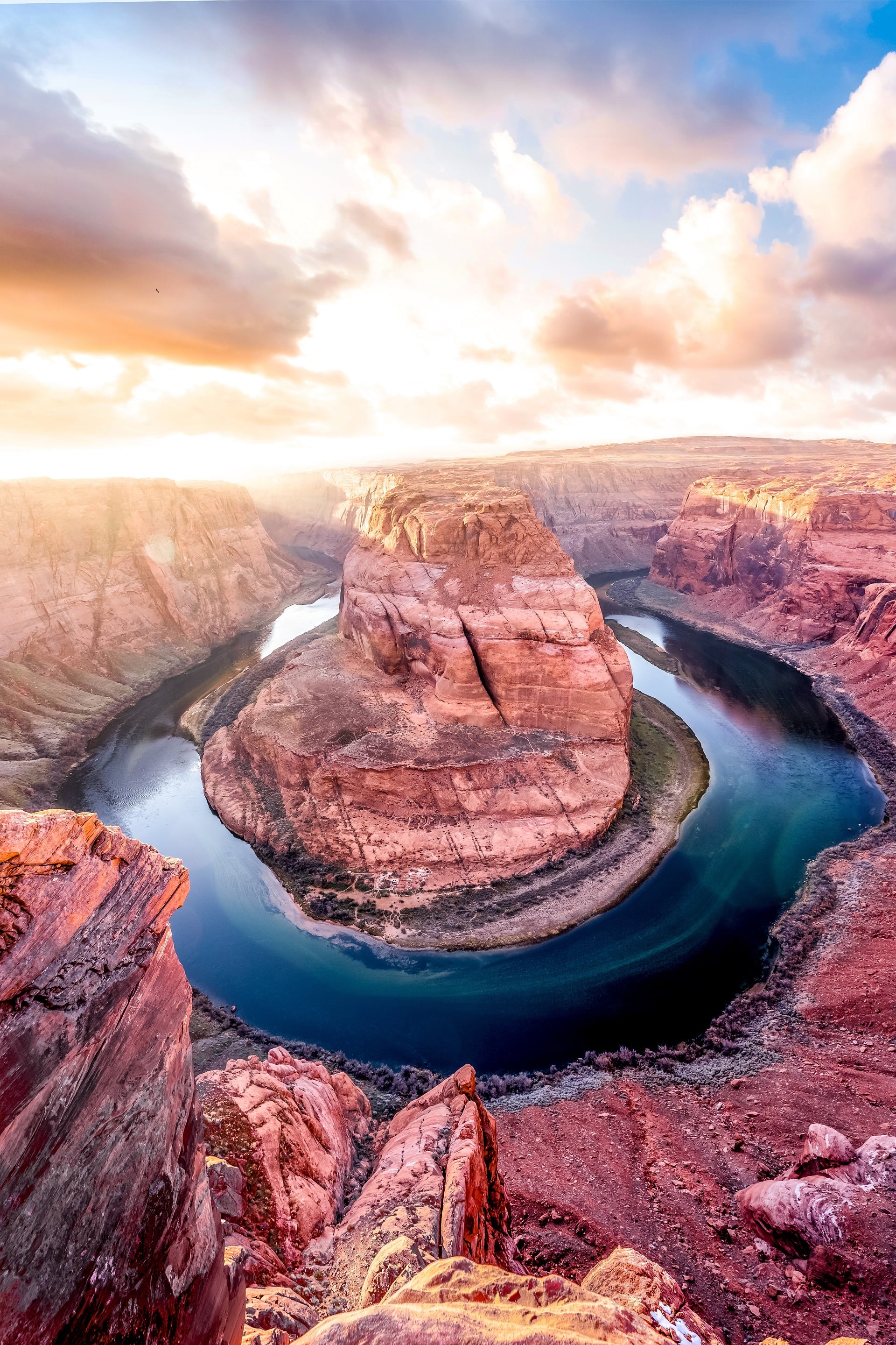
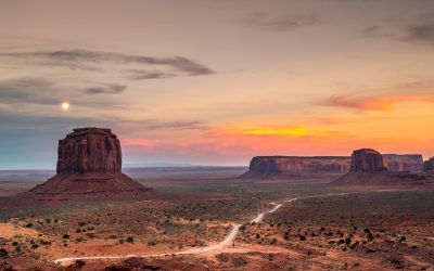
The diverse hiking trails around Tucson offer everything from arid, cactus-filled deserts to lush pine-covered mountains. You can hike through canyons, up hillsides, and across valleys. There are also trail options that take you past waterfalls and lakes.
There is a good selection of trails to choose from, depending on what you are looking for. If you are looking for a challenge, there are trails with large elevation gains. Or, if you want a more modest day of hiking, there are also flat trails available.
The area surrounding the parks and natural areas is rich in wildlife, so you have a good chance of seeing animals while you are out and about. In addition to birds, you might see squirrels, rabbits, deer, and other small mammals scampering around. If you’re lucky, you might even catch a glimpse of a larger animal like a coyote or bobcat. If you’re not interested in venturing outside the city center, Tumamoc Hill has hiking trails right in the heart of Tucson.
To see our top picks for the best hikes in Tucson, check out our list.
1. Seven Falls Trail
This stunning trail located in the Sabino Canyon Recreational Area will take you on a journey from the desert up into Bear Canyon, culminating with a view of the prize, a deep blue pool in Sabino Canyon. The path follows a stream, which you cross many times. Along the way, you’ll see saguaro, barrel cactus, buckhorn cholla, and cottonwood trees.
Don’t forget to bring your bathing suit if you want to take a dip in the water to cool off after completing the hike. The entire hike from the beginning of the trail to the end is five miles, and there is an elevation increase of 720 feet. If you use the tram, it will make getting back to the trailhead much easier.
If you begin your hike from the parking lot, you will need to add an additional four miles to your return journey, for a total of nine miles and just over 900 feet of elevation gain.
The most popular way to do this hike is by taking the tram, which leaves on an hourly basis. There is a charge for riding the tram, as well as a fee for entering the Sabino Canyon Recreation Area. This trail is in close proximity to the Loews Ventana Canyon Resort.
2. Sutherland Trail
The Sutherland Trail is a scenic hiking trail that starts at Catalina State Park and takes you through the desert and up into the mountains. The trail reaches an elevation of 8,600 feet. This area is not for the faint of heart, the entire hike is 10.8 miles. However, you don’t have to complete the entire trail to enjoy this area.
The first few miles are an extremely popular destination for people who want a peaceful hike through the desert. This is an ideal spot to get an up-close look at some towering saguaros, watch various kinds of birds, and in springtime, marvel at the colorful flowers in bloom. This section of the trail crosses a stream that only flows during certain times of the year. The terrain here is gently rolling, with small hills.
If you are willing and able, the entire hike, with a total elevation gain of 5,900 feet, provides different scenery. The trail ascends, in some parts quite steeply, to an area of tall pine trees and spectacular views over the mountains.
3. Romero Pools Trail
The Romero Pools are located on the Romero Canyon Trail, a 5.6-mile return hike that starts in Catalina State Park. This popular trail takes hikers to Romero Pools, a seasonal water catchment area that is fed by the nearby Romero Creek. The pools are a great place to take a break and enjoy the views of the Santa Catalina Mountains.
The pools at this location are ideal for swimming on a hot day to cool off. Be sure to bring your swimsuit so you can take a dip. Depending on the time of year, the pools may have only a small amount of water, but they’re still refreshing nonetheless.
The trail is even at the beginning but then increases in difficulty, with a total elevation gain of 1,000 feet. If you want to do the full Romero Canyon Trail, be prepared for a 14.4-mile hike that will take five to six hours, during which you will gain 3,300 feet in elevation.
4. Valley View Overlook Trail
The winding trail along this .8-mile round-trip hike dips down into a ravine and gradually climbs uphill to a lookout. The path then returns back along the same route. This is one of the most beautiful hikes in the Tucson area, with thick saguaros lining the hills and mountains throughout the duration of the hike.
The views from this area are incredible, stretching beyond the rolling landscape to the valley below and off into the distance to the mountains. When the huge ocotillos and prickly pears are in bloom, it is an amazing area for a walk.
This hike is located off the unpaved Bajada Loop Road in the west section of Saguaro National Park, known as the Tucson Mountain District.
5. Tumamoc Hill Trail
The main appeal of the Tumamoc Hill Trail is its convenience, and for hikers who go alone, it’s a safer choice than tackling a remote trail outside of town.
This paved trail ascends Tumamoc Hill, a butte located in downtown Tucson, gaining approximately 700 feet in a little over 1.5 miles. The entire round-trip hike is 3.1 miles and it is all uphill on the way there, and all downhill on the way back.
Saguaros are a type of cactus that grows in the desert. They line the hillside, and signposts along the way add insight into the wildlife that inhabits the area. The horned lizard is one such creature. Also known as “tumamoc” in the Tohono O’odham language, this lizard is native to the area.
As you ascend the hill, you are rewarded with sweeping views of the city in a number of different directions. This is a great workout that you can do by walking, running, or pushing a stroller along the wide path.
6. Freeman Homestead Nature Trail
The Freeman Homestead Nature Trail is an easy and scenic walk in the Rincon Mountain District, the east section of Saguaro National Park. The trailhead begins at the picnic area just past the entrance station and follows a paved loop through the desert landscape. Along the way, visitors can enjoy views of the Rincon Mountains and learn about the plants and animals that call this place home.
The main incentive for doing this loop is the scenery; the Freeman Homestead used to exist, but now the only thing that remains is the stunning view. The desert here is verdant, with a wealth of vegetation, including ocotillos, gigantic saguaros, mesquite, prickly pear, and other indigenous plants.
The undulating landscape creates a certain air of suspense in this one-mile loop trail. The valley and mountains can be seen in the distance. The hike is situated off the Cactus Forest Scenic Loop Drive. This is a one-way loop, so pay close attention to the turn for the Javelina picnic area.
The beginning of the Freeman Homestead Nature Trail is on this brief walkway, just before the picnic zone.
7. Yetman Trail
The Yetman Trail is a great option for a longer hike with relatively little elevation change. The 12-mile return trip has an elevation change of only 500-700 feet, depending on your starting point. The Yetman Trail is a fantastic way to see the beautiful botanical treasures of the Sonoran Desert, including saguaros, barrel cacti, and ocotillos. The trail will take you through some of the most stunning landscapes in the area, and you’re sure to appreciate the uniqueness of this desert environment.
Another interesting site on this hike is the Bowen Homestead, or “stone house” as it’s often called. These ruins date from the 1930s and provide a fascinating glimpse into the past.
There are also shorter variations of this trail that you can take. If you’re only interested in hiking to the Bowen Ruins, you can start from the main Camino de Oeste Trailhead. It’s a 2.2-mile return hike from the trailhead to the ruins. This would be a much more modest hike than doing the full trail.
The Yetman Trail can also be accessed from the JW Marriott Tucson Starr Pass Resort & Spa. This trail offers breathtaking views of the Tucson area and is a great way to experience the desert landscape.
8. Linda Vista Trail
Linda Vista Trail is a great option for an easy, scenic hike on the north side of Tucson in Oro Valley. This hike leads through a picturesque section of desert that looks almost like a desert botanical area, to the base of Pusch Ridge. You’ll be treated to stunning views of the surrounding mountains and valleys along the way, making this a perfect choice if you’re looking for a relaxing afternoon stroll with fabulous scenery.
There are plenty of options for hikes at this park. For a shorter hike, you can do a straight in-and-out hike of about 1.5 miles. Or, if you want a longer hike, you can loop together various trails. Be aware that there is some elevation at this park, but most trails will not take you up more than 300 feet.
This hike is conveniently located near the El Conquistador Tucson, A Hilton Resort, and makes for a pleasant outing if you are staying at the resort.
9. Tanque Verde Falls Trail
The falls at Tanque Verde is a stunning sight in the desert, with water cascading 80 feet over a rock wall. You can reach it on this slightly more than two-mile round-trip hike.
This is an easy walk with a 100-foot elevation gain. The amount of water flowing over the falls varies depending on the season and recent rains. Depending on when you go, you might see a pretty significant flow of water or just a trickle.
A short distance from the beginning of the trail is a ravine. If there is water flowing through it, that is a good sign that the waterfall at the end of the trail will be running.
10. Blackett’s Ridge Trail
This hike is all about the incredible views you’ll see of Tucson, Sabino Canyon, and Bear Canyon. The trail is a moderate climb of around 1,800 feet and is just under six miles round trip. You won’t want to miss this amazing experience!
Though the journey up is difficult, the view from the top is worth it. Some sections of the Blackett’s Ridge Trail are very steep and require scrambling over rocks and boulders. However, hikers are rewarded with stunning views of the surrounding area for their efforts.
11. Cactus Forest Trail
This trail is perfect for those who are looking for a relatively easy hike that is still slightly longer than some of the other trails in the area. The Cactus Forest Trail offers stunning views of the Rincon Mountain District and is a great way to get out and explore all that Saguaro National Park has to offer. This trail is the perfect choice for those who are looking to escape the more crowded areas of the park and explore some of its less-traveled paths. The Cactus Forest Trail provides hikers with stunning views of the desert landscape, as well as the opportunity to see some of the area’s unique wildlife up close. This is an ideal trail for anyone who wants to experience all that this park has to offer.
This is a narrow, flat 2.5-mile trail that runs through the interior of the Cactus Forest Scenic Loop Drive. The trail is lined with saguaro and other desert vegetation, providing hikers with beautiful views of the desert landscape.
As you explore the desert, keep an eye out for wildlife. You’re likely to see birds like quail and woodpeckers, and you may even hear the baby-like cries of quail. Saguaros are a common sight in the desert, and woodpeckers often land on them.
The trail can be accessed at either the north or south trailheads. However, it is most scenic as you head north. Therefore, if you are only going to do it in one direction, using a car shuttle, it’s best to start at the south trailhead.
The vast majority of people do not have the luxury of being able to use a car to shuttle them, so the trail becomes a five-mile walk there and back. If you’re looking for a shorter hike, you can just turn around once you reach the lime kiln. This hike can be started from either the south or north trailhead. It is a three-mile round-trip hike from the south trailhead and only two miles from the north trailhead.
12. Mount Wrightson via Old Baldy Trail
If you physically feel up to the challenge of a longer and more difficult hike, you should try your hand at the Mount Wrightson trail. This trail is sure to test your strength and endurance, but the payoff – stunning views of the surrounding valley – is more than worth it.
The trail up nearly 4,000 vertical feet in five miles is quite the climb and not for those who are not in good shape. The views from the top are amazing, especially in the spring when the wildflowers are blooming.
The section of the trail lower down has some trees providing shade, but as you climb higher, there are fewer trees and more open space. The wind is often blowing in this section, making it more comfortable on a hot day.
The trail is located at a high elevation, so snow and ice are frequently found on the trail in January and February. Microspikes and poles are recommended if you plan to hike during this time. A fee is charged to park at the base of the trail.


0 Comments